| << Cookinseln - Tokelau-Inseln - Niue - Kermadecinseln |
||
|
||
Zuletzt angesehene Artikel:
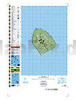
 | PI15 Atiu (Cookinseln) Topographische Landkarte 1:25.000 - Land Information New Zealand |
 | Das Ahrtal - Topographische Wanderkarte 1:25.000 (Blatt 9) Offizielle Wanderkarte des Eifelvereins - Kartengrundlage Landesvermessungsamt Rheinland-Pfalz |