| << Cookinseln - Tokelau-Inseln - Niue - Kermadecinseln |
||
|
||
Zuletzt angesehene Artikel:
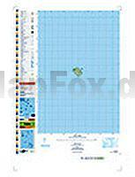
 | PI06 Nassau (Cookinseln) Topographische Landkarte 1:25.000 - Land Information New Zealand |
 | 484.3 Kietrz Amtliche topographische Karte 1:50.000 Polen |
| 461.1 Lesna Amtliche topographische Karte 1:50.000 Polen |