| << Deutschland: Historische Karten und Stadtpläne (im Bereich der heutigen Bundesrepublik) << Rockstuhl |
||
|
||

Zuletzt angesehene Artikel:
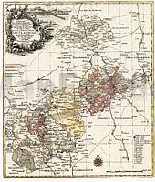
 | Der Vogtlandkreis 1757 - Historische Landkarte Nachdruck Planokarte - gerollt von Lotter - Verlag Rockstuhl |